Workshop 3: Processing, Inversion and Visualization of Towed TEM Data for Aquifer Mapping
Cancelled as of 31 Aug.
| Date: | 18 September 2022 |
| Time: | 09:00 - 17:30 |
| Conveners: | Toke Søltoft - Geophysicist and AGS director at Seequent Thue Bording - Geophysicist and CEO at Aarhus GeoInstruments Knud Valdemar Lassen - Geophysicist and developer at AGS / Seequent |
Workshop Description
This workshop is suitable for geophysicists/geologists/engineers interested in ground based and airborne TEM surveys for groundwater mapping and students/staff at academic institutions involved in research on the TEM method, having a basic knowledge of geophysical survey methods.
Level: Beginner/Intermediate
The electromagnetic (EM) method is widely used for hydrological, environmental, engineering and mining surveys to map the subsurface resistivity.
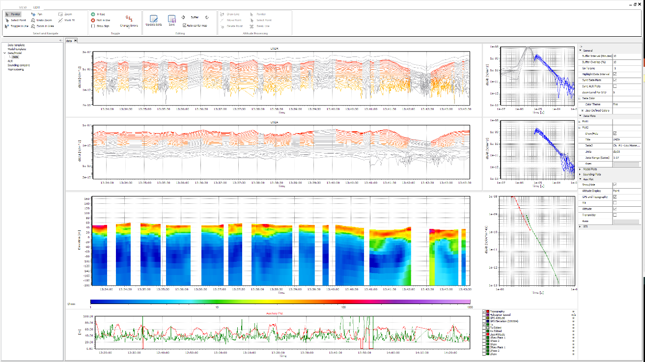
In this workshop, we will cover the basics of the TEM method and go through all steps from processing and inversion of TEM data examples to visualization of model results.
There will be hands-on exercises where we will go through the processing filters, lateral (2D constrained) and spatial (3D constrained) inversions of TEM data, visualization of results in sections, 3D viewer and GIS interface.
We will use data acquired by the TEM instrument and the software package Aarhus Workbench.
At all times, the participants will be able to follow the workflow through a shared screen and hence ask the questions they might have to the software.
Course participants will be given a free, time-limited license to work with data before and/or after the course. Hands-on exercises at the workshops will be sent to participants along with license information before the course. For hands-on exercises, please bring your own laptop.
Workshop Schedule
| 9:00 - 10:00 | Basic theory of time-domain electromagnetics |
| 10:00 - 10:45 | TEM instrument overview |
| 10:45 - 11:00 | Coffee Break |
| 11:00 - 12:00 | Data processing on TEM Data |
| 12:00 - 13:00 | Lunch Break |
| 13:00 - 14:45 | Data inversion to create inversion models |
| 14:45 - 15:00 | Coffee Break |
| 15:00 - 17:00 | Visualization on GIS, sections and 3D viewer |
| 17:00 - 17:30 | Closing remarks and questions |